Skip to content
Somerville Transportation Equity Partnership
  • Home
  • Green Line
  • McGrath Blvd
  • Buses
  • Health Issues
  • Transportation News
  • Background
  • About STEP
  • Toggle website search
Menu Close
  • Home
  • Green Line
  • McGrath Blvd
  • Buses
  • Health Issues
  • Transportation News
  • Background
  • About STEP
  • Toggle website search

Blog

State publishes Community Path map

  • Post published:June 20, 2010
  • Post category:Green Line

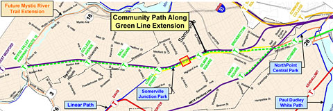
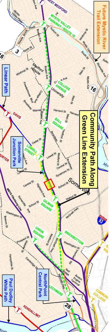
Communnity Path map
MassDOT created what it calls a “conceptual map” of the Community Path, which is being designed along with the Green Line extension. Click to see a larger version or download the PDF.

Communnity Path map

You Might Also Like

Somerville News: Design Working Group meeting

June 1, 2011

Green Line hits a bump as contract is put on hold

September 8, 2010

Richard Davey on Green Line extension

March 7, 2012

TRANSPORTATION PROJECTS

View a map and summaries of planned and potential projects in Somerville!

GET INVOLVED

You can make a difference! Come to a STEP meeting or join our email list to stay up to date:


FOLLOW STEP

Multiple ways to stay in touch with STEP:
Facebook Facebook
Facebook Twitter
Facebook RSS

Email us at info@somervillestep.org